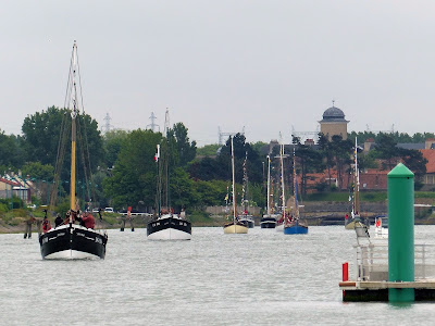
River Eider
Tuesday 18th July - Heligoland to Tönning 42nm
It's only 23nm from Heligoland to the safewater mark at the entrance of the River Eider but then it's almost as far again to a harbour. For vessels coming out of the Eider the round red and white buoy indicates the end of channel restrictions and the start of open water, but for us coming in it means goodbye to the German Bight and the North Sea and hello (again) to sandbanks and shallows, buoys and then withies.
You may have read enough about "Riddle of the Sands" already in this blog but just a quick note for the benefit of fans: the route we are taking to the Baltic now is the same route Davies took, in the "back story", after his narrow escape from foundering on the treacherous sands, lured astray by the dastardly Dollman. For the record it also features in the Cruising Association Almanac as Route 2a.
Before the construction of the Kiel Canal this was the way through, the shortcut linking North Sea to Baltic Sea. Opened in 1784 it made a huge saving on the distance (and weather) involved in sailing round the top of Denmark. Further up it's canalised but for now it's a big wide estuary.
Yet again our Navionics electronic charts are wrong. Howard took the photo below of what they were showing as we followed the buoyed channel and you can see below that we certainly couldn't rely on the charts we have on our plotter if we had poor visibility here. Instead of following the line of waypoints we had prepared we followed the actual buoyage.


Comments
Post a Comment
We've set this up so anyone can comment - though we'll see your comment before it's published on the blog - please comment away!